

22 Dec Four days to the Drakensberg
How many people would take three days to drive from Cape Town the Drakensberg? Well, we did!
Most people will make the eight-to-nine-hour journey in a day. That’s because most people would rush to their destination before starting their holiday. Yet, the road has so much to offer. Why not enjoy the drive, making the journey a part of your holiday. You’ll be surprised at just how much fun this can be.
We decided to make a road trip of it. And once we made that decision, we just knew that we will not be taking the N1. “Let’s travel west before going north”, we thought.
Our road trip would cover places like, Piketberg, Elandsbaai, Lamberts Bay, Graaf Water, Clanwilliam, Calvinia, Williston, Carnarvon, Vosburg, Britstown, then onto the N12 and turn off at Modderivier to Jacobsdal and to Petrusburg before reaching Bloemfontein, a distance of about 1500 kilometers.
Enjoyable? Yes, less traffic, different scenery and fewer trucks!
First Leg – Cape Town to Lambert’s Bay

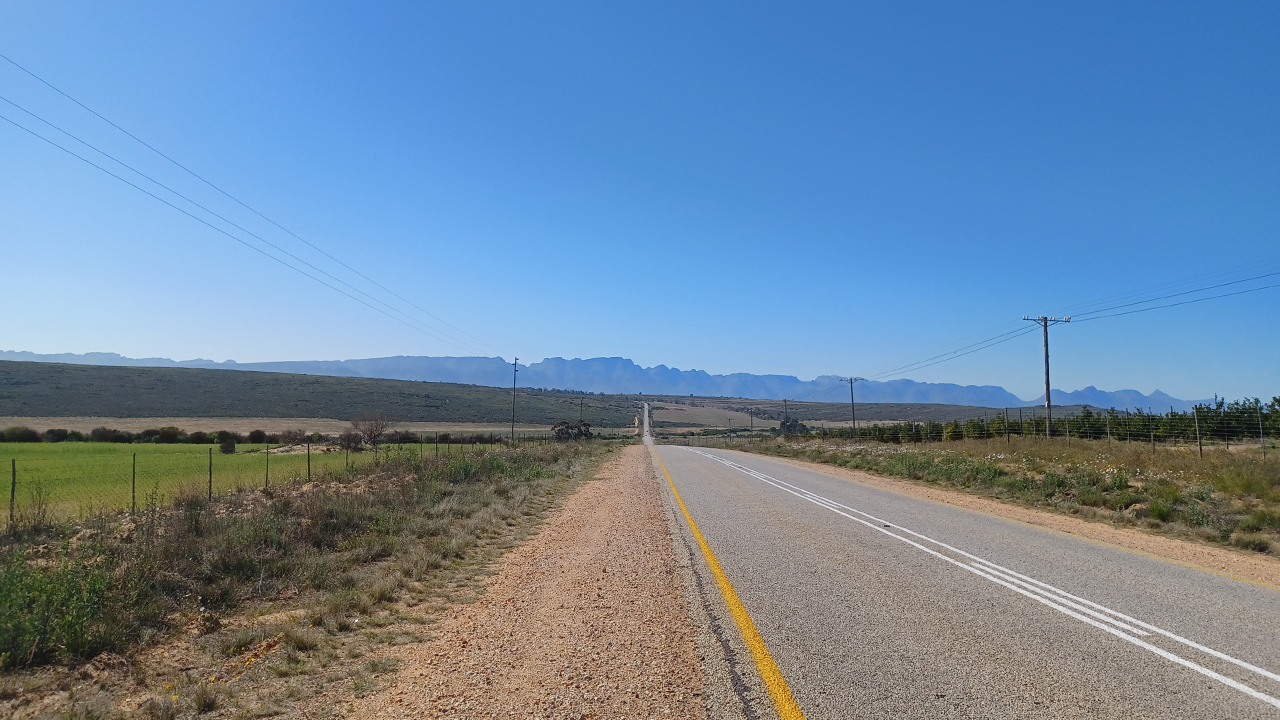
Our plan for the day was to travel from Cape Town to Elandsbaai and then onto Lambert’s Bay, some 300 kilometres along the West Coast. We’ve been looking forward to this road trip, which will take us from the West Coast to Bloemfontein. This journey will take us through three provinces.
We planned this two week break just after my retirement. So, we were excited to discover what lie ahead of us. Our plan was not to exceed five hundred kilometres in a day. For example, on day one, we had no more than 300 kilometres from Cape Town to Lambert’s Bay. Driving in this way makes the journey more relaxing and pleasurable.

Leaving Cape Town, it was beautiful to be on the open road again. It’s a feeling of freedom and space, away from the daily grind and far from traffic jams. On the country road we passed many huge farms, observing sheep and cattle on a number of them before we started to encounter the canola fields. Farmlands become a patchwork of green and yellow. They offer a picturesque landscape, stretching on for many square kilometres during the months of August and September.
We could not help ourselves; we just had to take photos along the way. With so many photo opportunities, it was difficult finding the right spot. These fields stretch from the road to the foot of the mountains beyond
The day was chilly, and the sky swollen with rain clouds. Every now and then a cloud would drop some rain, making the drive a cosy one. Here and there, openings in the clouds would cause a ray of sunlight onto the fields; this sight is spectacular. So good for the soul.
The road surface is very good, with wide shoulders, adding to a pleasurable driving experience. We pass a farmstall but decided to press on. It’s still too early to eat.
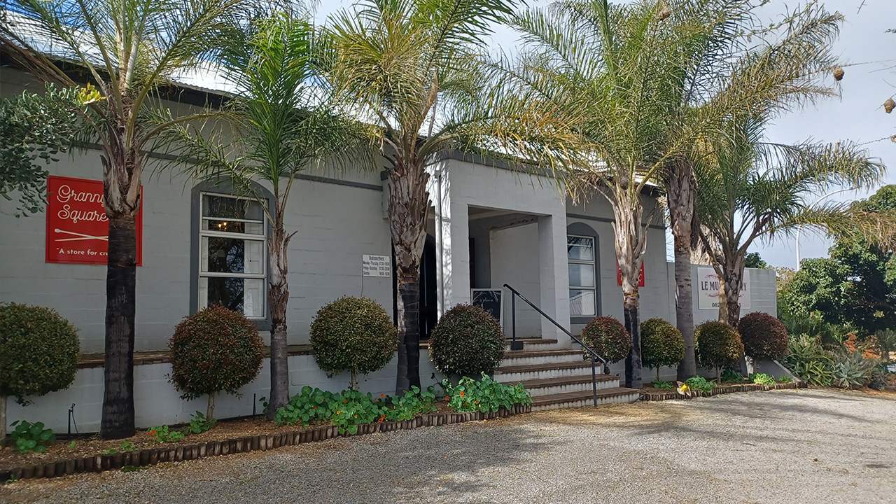
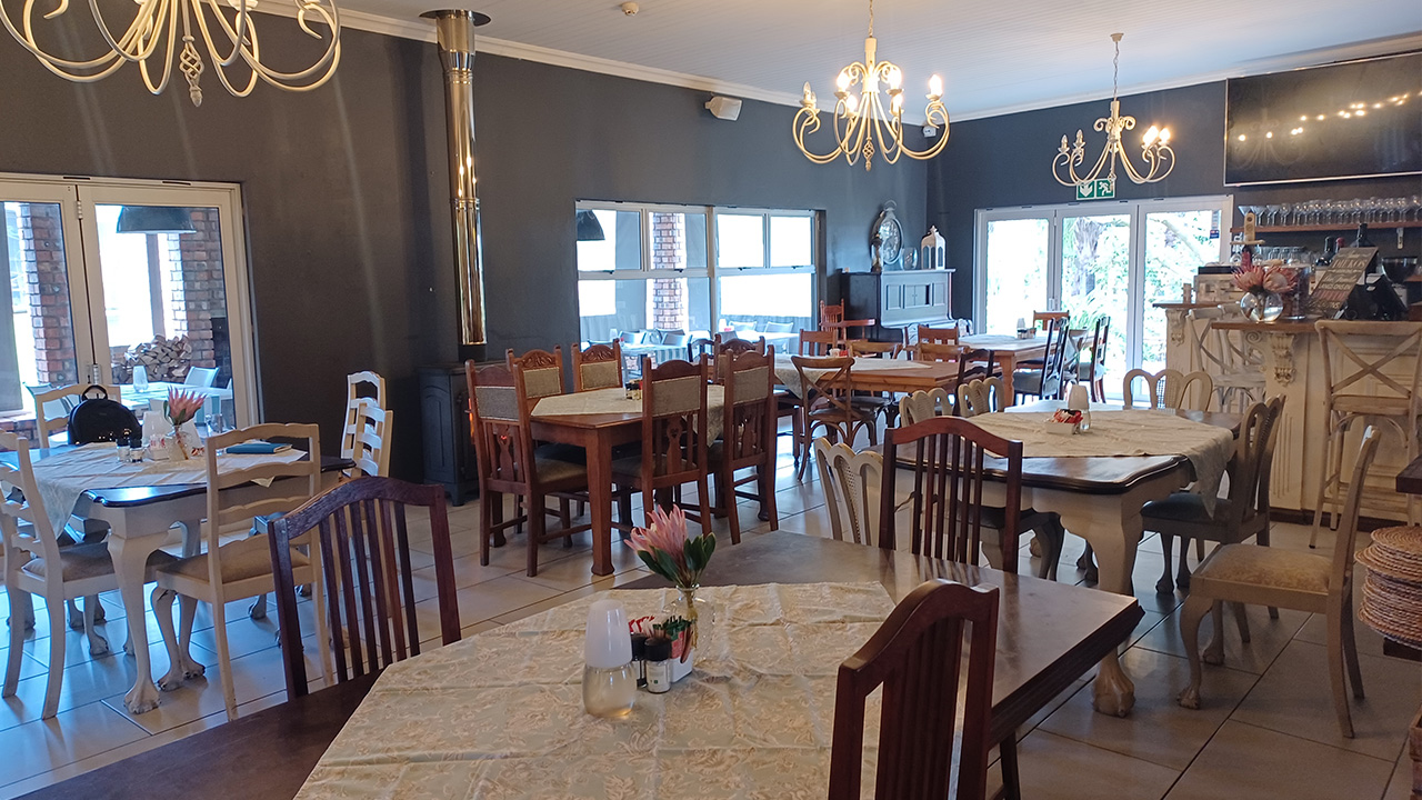

After more than an hour’s driving, we neared the town of Moorreesburg. Along the road was a sign “Le Must Eatery”. That’s when we decided we will stop on at this place for something to eat.
Le Must Eatery was typical of a farmstall. The place is neat and offering more than just a meal.
Melissa welcomed us as we entered the stall. This store had such a homely feeling, offering delicacies, homemade preserves, cheeses, and such. They even sold wool and woollen items. In the restaurant section there was a fire burning in the hearth, adding to the homeliness we felt.
Outside the gardens were spectacular and well maintained. There was more seating outside, a children’s play area and a large fireplace. I would visit this place again. It was very relaxing.
Jean and I shared breakfast and were soon on our way again after spending an hour here.
For more information on this place, visit their website at www.lemusteatery.co.za or search via Google.
Back on the road, our next stop was Elandsbaai. About thirty kilometres after leaving Moorreesburg, we branched off at Picketberg, heading towards the coast. But first the road took us all along the foot of Picketberg mountain range, before turning eastward.
Again, we were mesmerised by the patchwork colours of the farmlands. Wheat fields, Canola Fields, sheep farming, some vineyards and even citrus farming fill the landscape as far as the eye can see.
Passing one of the farms I noticed that the farm gate had been left open. “The perfect opportunity for a great photo in the canola field”, I thought. We turned off onto the farm and followed the track and found ourselves in the canola field where we stopped for a photo.
A rustling sound drew our attention to a herd of cattle quietly walking through this field as if driven on by someone. Hesitating at first, they eyed us but continued then undisturbed to wherever it was they were heading to. We could not have asked for a better sighting and photo opportunity.
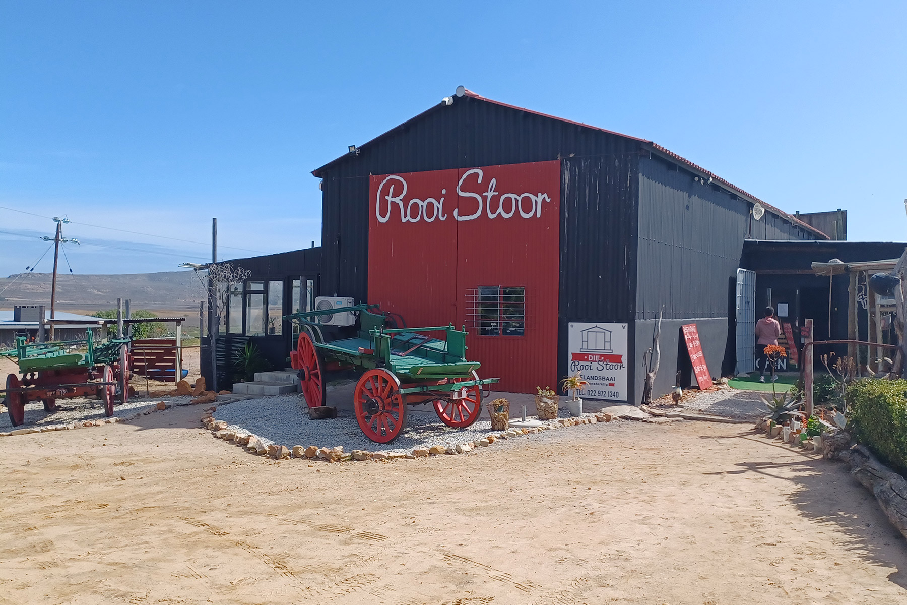
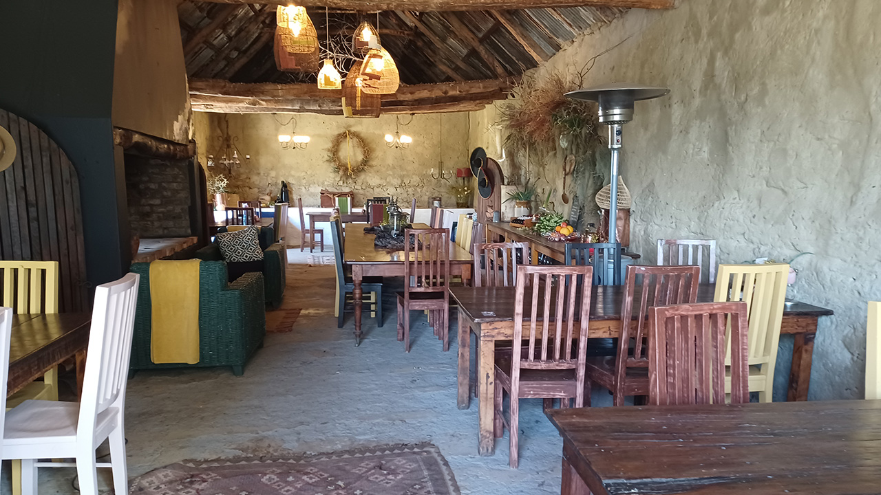
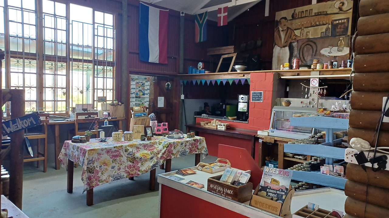
Nearing Elands Bay we encountered “Die Rooi Stoor Farm Store”. It is clearly marked, so you cannot miss it. Intrigued we stopped and encountered at reception what was on offer. Beside the farmstall they also offer accommodation, both chalets and camping. The place is neatly laid out and is only ten kilometres from Elands Bay. It is well worth a visit.
The restaurant is rustic and welcoming. For more information visit their Facebook page
I was almost sorry that we had eaten already. This place just gives you that feeling to sit down and relax

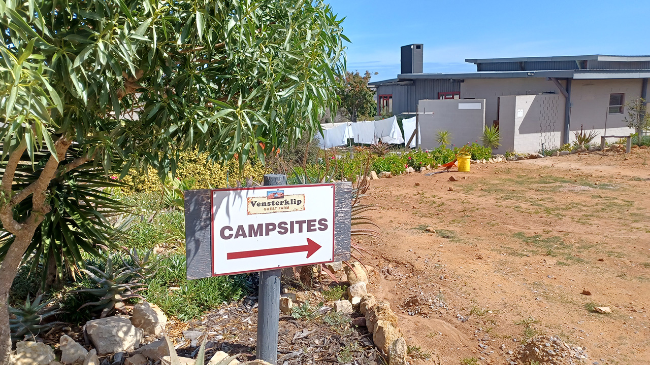

Next, we entered Elandsbaai
Our first impression of this place is that it needs some sprucing up. The roads were dusty and the town unattractive.
We drove towards the beach and approached the unwelcoming entrance to the caravan park. This place could do with more greening, that’s what we thought.
However, there were a few caravans, even at this time of the year and from a distance the town looks quite welcoming.
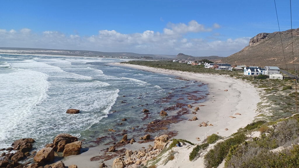
We drove around the town for a bit, following the sign which said, ‘Elandsbaai South’. This road took us in the opposite direction, back to the beach and along the mountainside. It was a dirt road, not well graded, yet welcoming because of the mountain and the sea.
Even though Elandsbaai was declared a provincial heritage site, it is not well protected. Easy access to the caves could lead to vandalism. I thought also that much more could be done to encourage tourism, which is needed as a source of income if one judges from the poverty in the area. Even just having information boards connecting it to its Khoisan heritage, would have been welcome. I wanted so much to learn more.


The mountainside has an interesting frontage, one can see from it why it is called Venterklip (Stone windows), and the caves are evident.After spending some time at the beach, we made our way to Lambert’s Bay.
Lambert’s Bay
We arrived early afternoon in Lambert’s Bay, enough time to look for accommodation before settling down for the night.
First, we drove towards the Harbour where we found a restaurant, named “Roestyd Family Restaurant”, where we had lunch. I’m sorry that we had not taken any photos of the place nor of the food. You can find information about them at their website though, www.roestyd.co.za
The meal was very good, that I remember very well. Durr, the owner came to greet us, and we had a little chat about the area. He suggested some places where we could find accommodation.
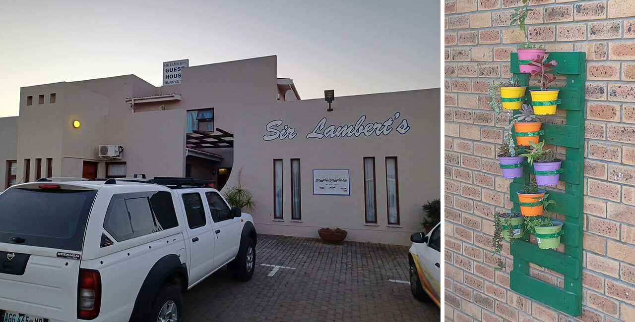
Lambert’s Bay
Driving around Lambert’s Bay we realised that there is no shortage of accommodation and eventually settled on “Sir Lambert’s Guest House”.
I always like it when the owners live on the premises. Juanita was very welcoming, the room neat and had everything that we needed. The price, which was very reasonable included breakfast.
Jean and I took a late afternoon walk around Lambert’s Bay and discovered that many houses and guesthouses were locked up. I suppose that this time of the year, being winter, is not a popular time for a visit. The air was icy as we walked but there was not much wind. The town was very quiet, which suited us. We finished some of the food that we had with us in our room that night, so did not need to go out for supper.
Wi-Fi, air conditioning and all other conveniences made for a very comfortable night.

Second Leg – Lambert’s Bay to Carnarvon
After a hearty breakfast the next day we left lambert’s Bay for Carnavon the day was cool and crisp after the rain of the past few days. The sun shone beautifully, warming up the day. Again we passed the farm lands, sheep farming, citrus farming and even some vineyards, giving the landscape a patchwork appearance. But now we are also entering an area where rooibos tea is planted, adding to the kaleidoscope of colour.
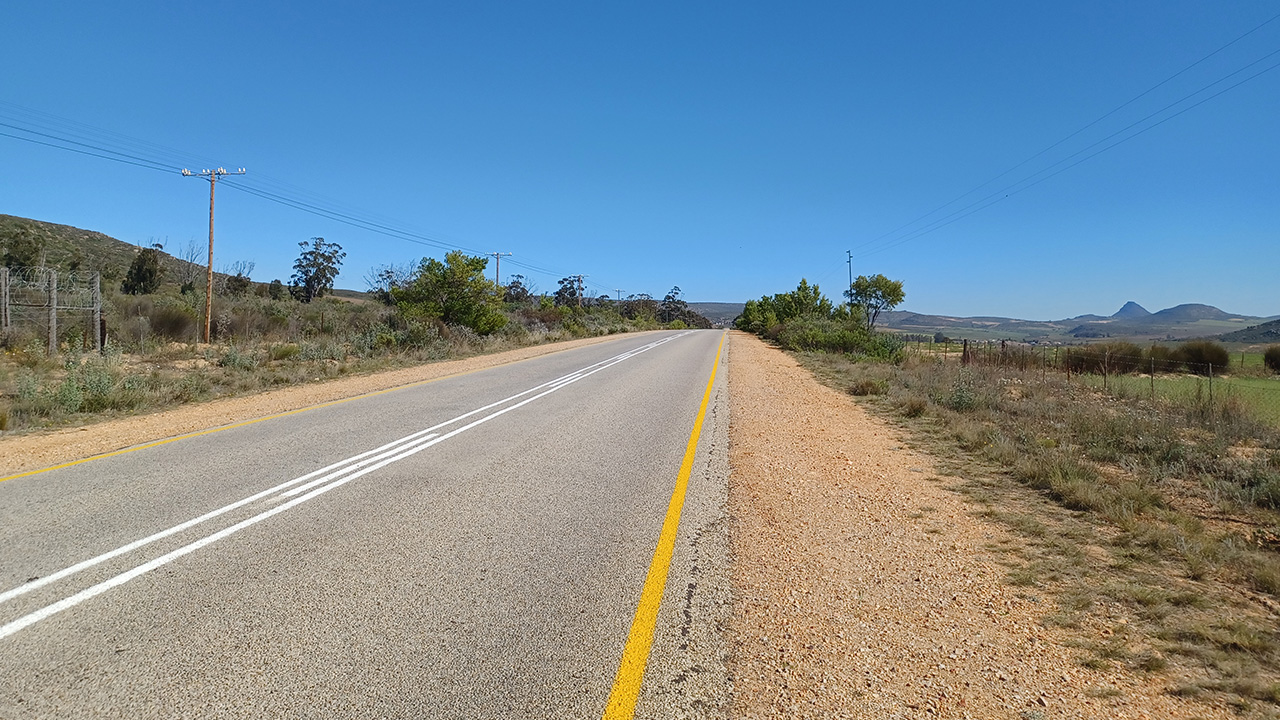
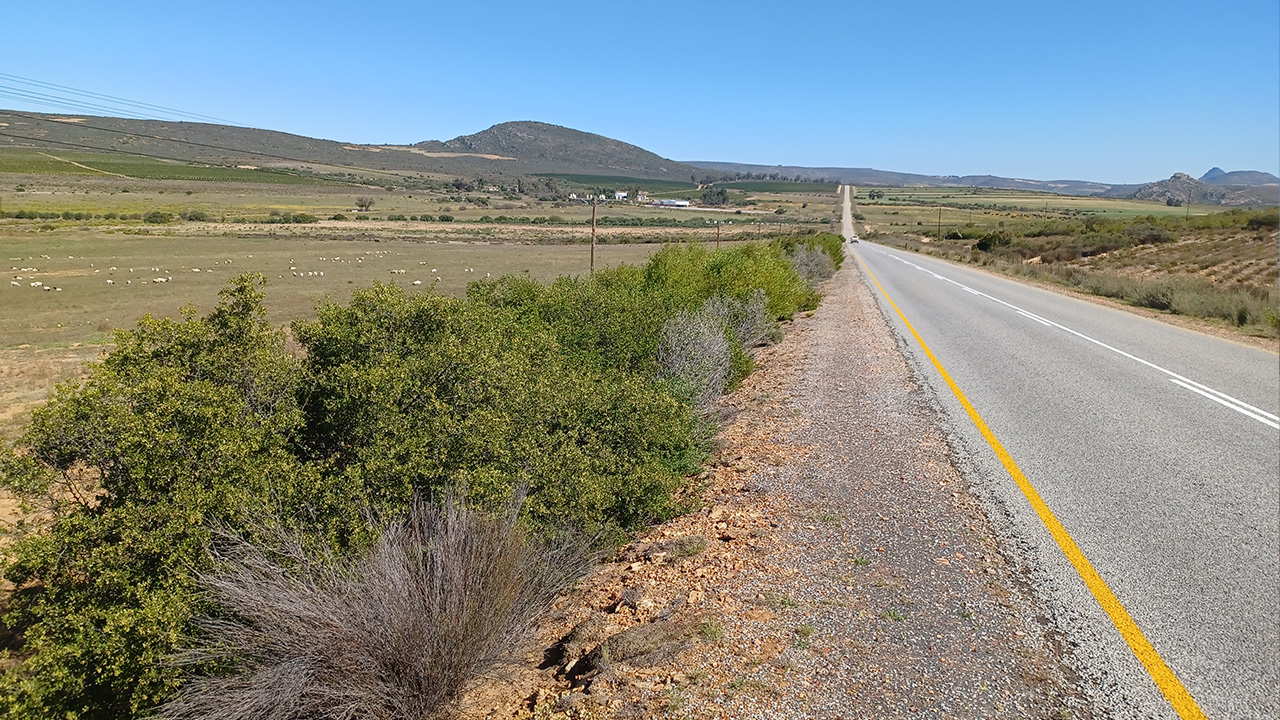
The road is beautiful and takes you over the Carstenberg Pass. This Pass connects the west coast towns of Lambert’s Bay and Graafwater with Clanwilliam. Drive slowly and allow yourself to be taken in by this beauty and the Serenity of the area. The landscape and scenery before us forced us to stop many times, taking photos.

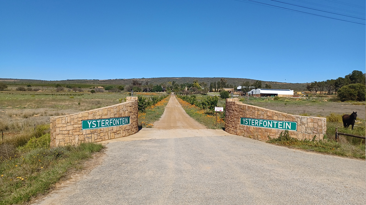
Ysterfontein
Within this mountainous area we encountered a guest farm, called Ysterfontein Guest Farm. We passed the turn off to the farm and decided to turn back. We are not sorry that we did so.
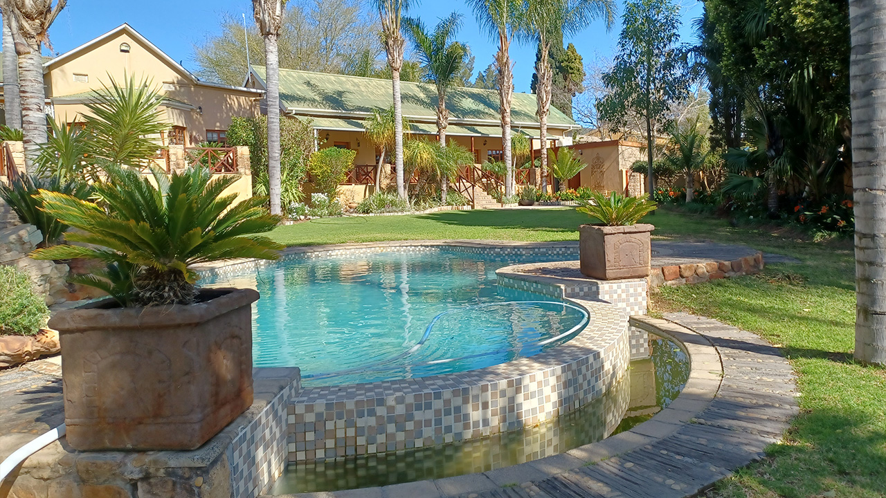
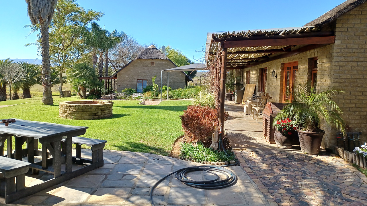
Nestled between these mountains is a gem. Well managed and well maintained, this farm is worth visiting again. After enquiring at reception, we were allowed to walk around and photograph the place. We did not stay over, so are unable to comment on the food or the facilities. The farm has self-catering cottages for hire. All in pristine condition. We were overwhelmed by the beauty of this place.
For more information on this guest farm, visit their website at; https://www.ysterfontein.co.za/
Ysterfontein is a diverse farm, farming with Rooibos tea, citrus farming, potatoes and livestock.
You’ll love it!
Next our path took us down the other side of Carstenberg into Clanwilliam. From the road we have a clear view of the Clanwilliam Dam, glistening in the morning sun, a welcoming site.
Pakhuis Pass
We were on our way to Doringbos and Calvinia. The road to Calvinia, however, took us across the Cederberg Mountains on a mountain pass called “Pakhuis Pass”.
I don’t have enough words to describe this natural beauty. First we were greeted along the road by a family of baboons warming themselves on the tarred surface of the road. Even though we approached them at a snail’s pace, they scattered into the nearby bushes.
The rock formations on this mountain are awesome and I wonder at the shapes. Huge boulders appear to be stacked onto each other, some at precarious angles, creating shapes from a horror movie. And I wonder how I would feel if I was to walk around here at night. Rough, rugged, yet beautiful. We stop off at a few places to take photos and just to admire the Vistas. Silence shattered only by the chirping of birds and the gurgling sound of water seeping down the side of the mountain to a stream below. Awesome!
Die Engelsman se Graf
As you descend Pakhuis Pass, just before the turn off to Wupperthal, you will come across a signpost
(Grave of the Englishman). Stop, take in the serenity and remember

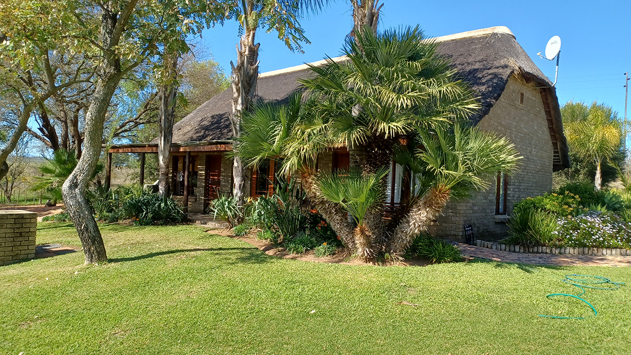
Traveller’s Rest Farm Stall
Further along the way the road becomes a gravel road. It is well graded. Enjoy the road and the surrounding countryside. Soon you will come across Traveller’s Rest Farmstall.
Do yourself a favour by stopping in at this place. You will enjoy the atmosphere, browsing through their shop. Rooibos tea sold here is from the surrounding farms. Enjoy also the local delicacies on offer.

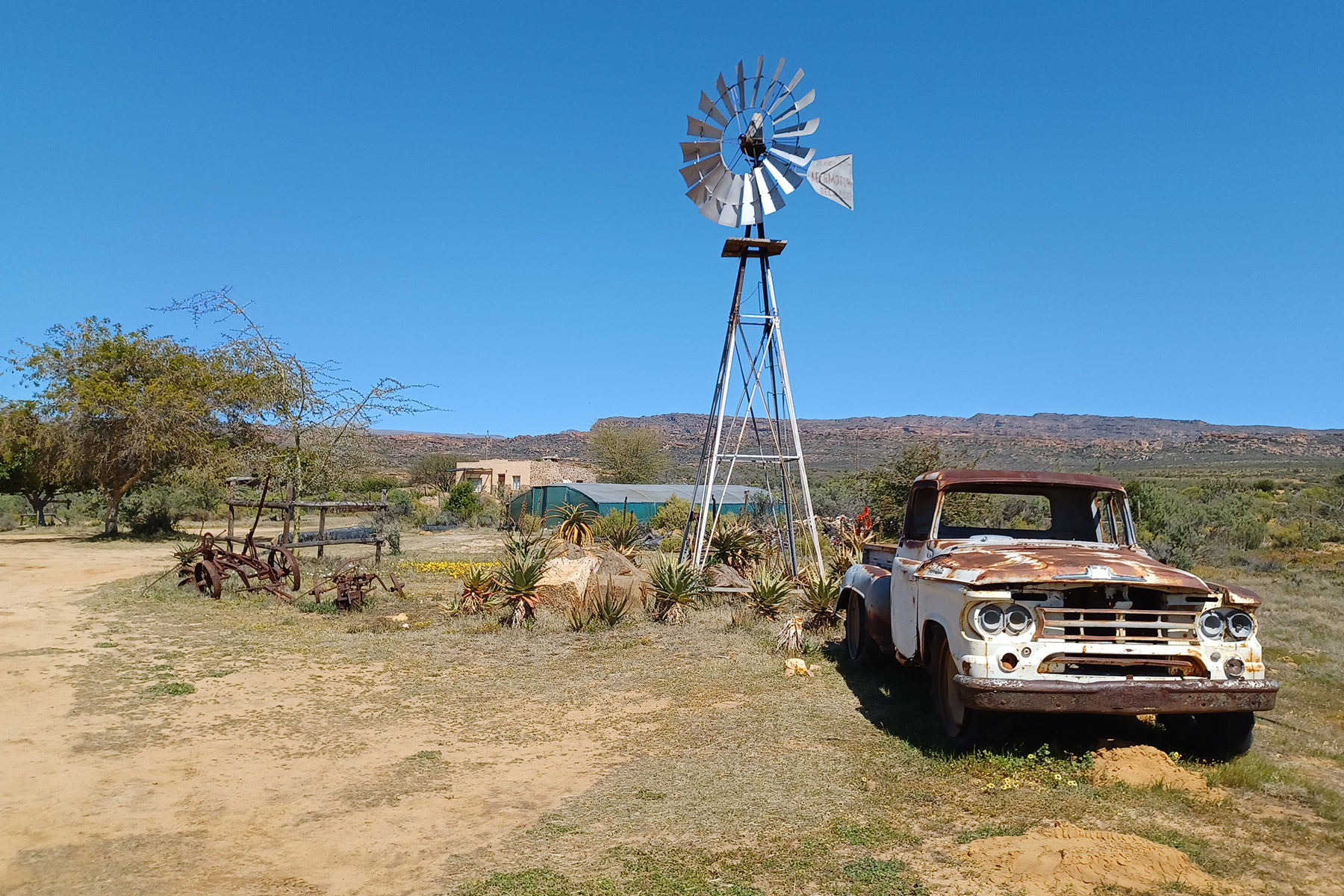
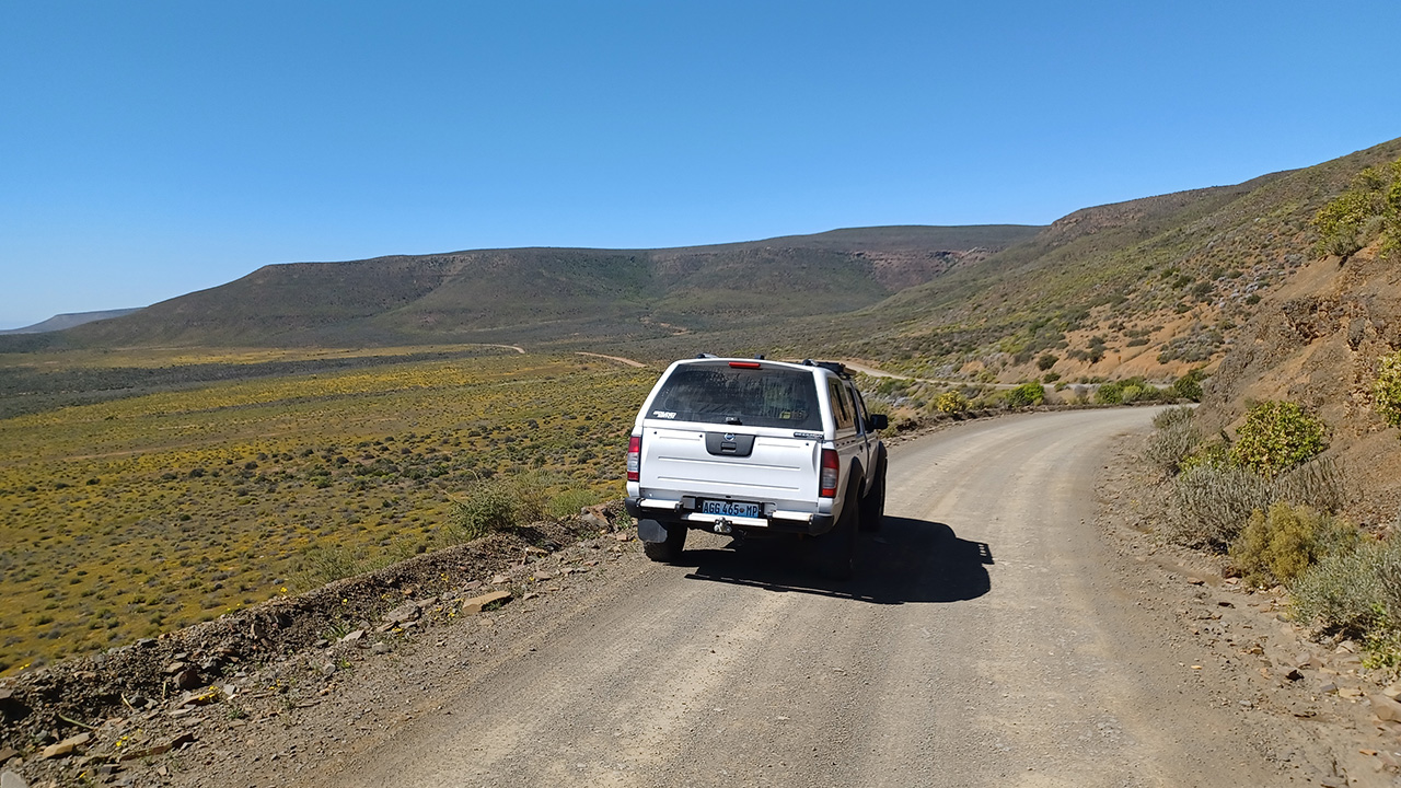
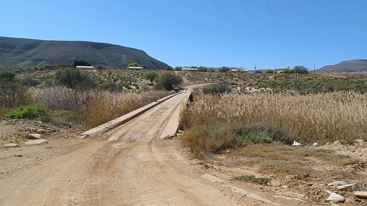
From this point onwards it’s a gravel road until you reach the R27 that takes you to Carnarvon. The road winds through very mountainous terrain on your way to Calvinia.
Botterkloof Pass
It was on this road that we came across the Botterkloof Pass. The day was warm and clear when we passed through, making it fun to stop along the way to take photos and just enjoy the pass. The graded road made it easy to drive through this pass. Be careful though because there are no railings along the side opposite the mountain.
There are so many fields of flowers along the road, common to this area. Just enjoy them


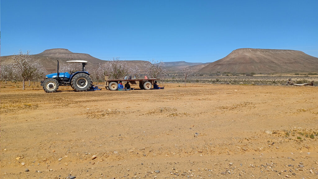
We passed some road workers taking refuge from the sun during their lunch break by sitting under the tractor’s trailer. They waved enthusiastically when we passed them
Further along the way I noticed a tortoise trying to climb a ridge along the side of the road left by a grader after grading the road. Yes, we helped him on his way.
Carnavon
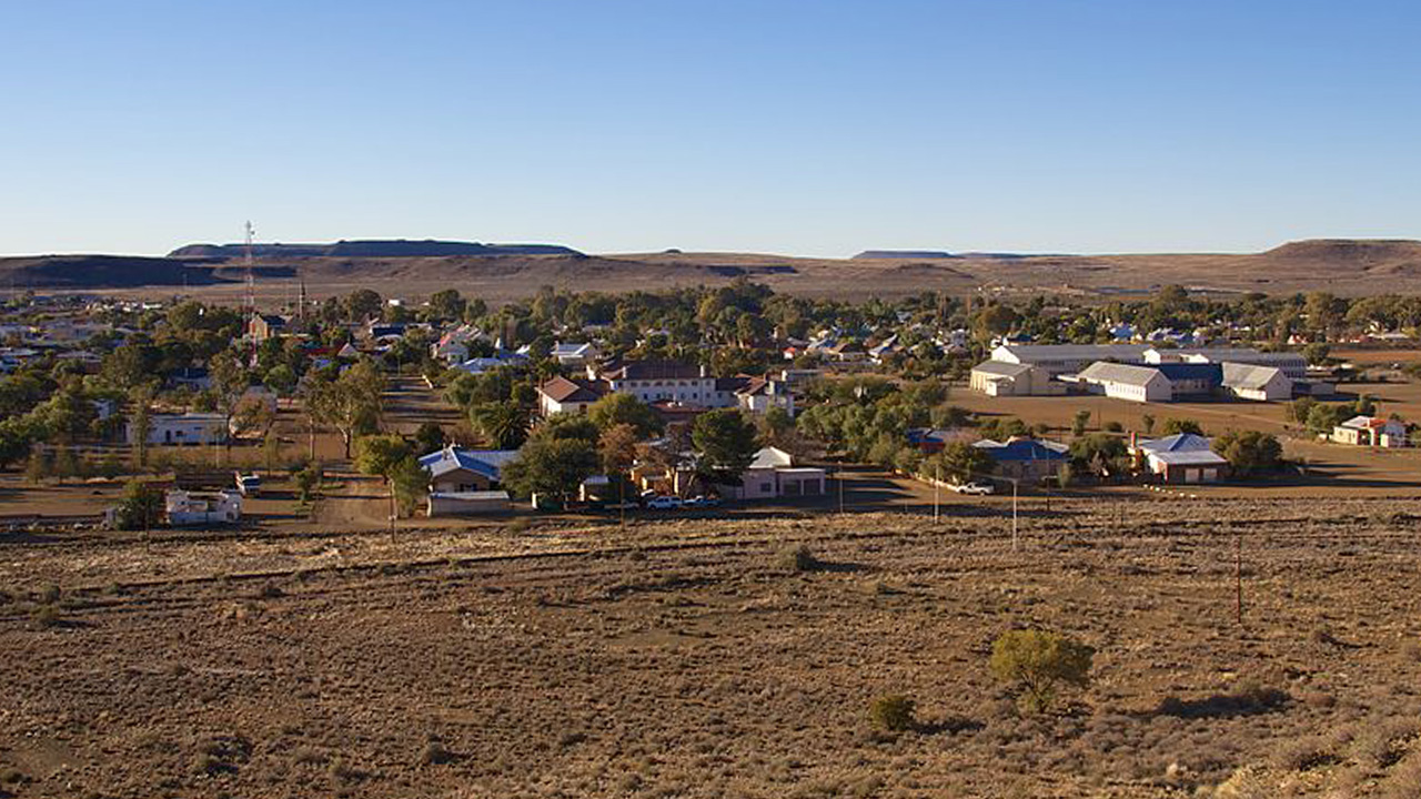
Carnarvon is a quiet town in the Northern Cape Province, with wide roads, a few shops and, judging from the many dilapidated homes and people begging, there is not much opportunity for employment. However, the people are friendly and harmless. The town is dusty but relatively clean.
After booking in at a local guest house, Jean and I took a walk around the town. We always believe that this is the best way to get to know the town. A leg stretch after a long day is also always welcome. The town is not very big, so we took to walking up and down the streets until we’ve walked six kilometres.
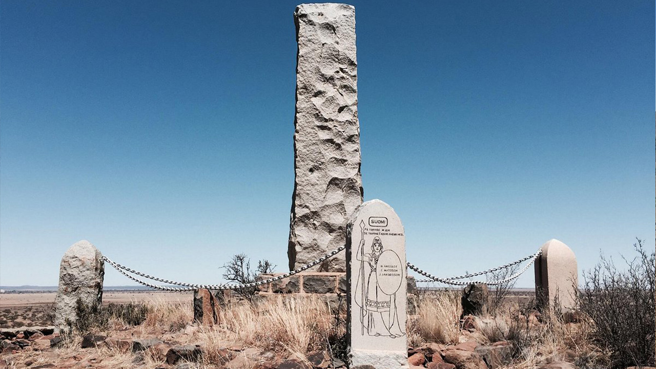
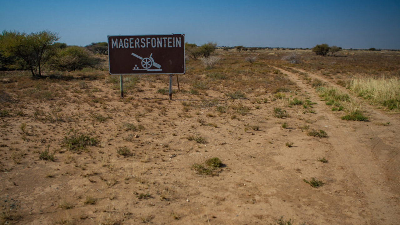
I wished that we could have spent more time here to visit the local museum, the old fort and to learn more about the history. Close by there is also an old battlefield from the last Anglo Boer War and a nature reserve. I made a mental note to visit it someday.
To learn more about this town and what is on offer, visit the website:
https://www.experiencenortherncape.com/visitor/citiesandtowns/carnarvon
But, for now, we have to make our way to Bloemfontein.
Third Leg – Carnarvon to Bloemfontein
Towns that we will pass today are Vosburg, Brits Town, Modderrivier, Jacobsdal and Petrusburg before reaching Bloemfontein.
The day was clear and the weather warm. I liked the crisp morning air as we left Carnarvon for Vosburg. A beautiful, open road lay ahead of us. This time we are on the R384 to Vosburg, cutting across the country towards Kimberley.
An hour later we reached Vosburg and turned in to observe what was on offer. Turning in to this town we immediately came across the welcoming coffee shop in the main dirt road.
Die Ketel Coffee Shop
“Die Ketel Coffee Shop” was a great find. Neat, well managed and offering exactly what we needed, we sat down to breakfast. The waiter and cashier engaged easily in conversation with us, made us feel welcome and part of the family. They shared information about this little town, its people and what there is to do there. Soon we were laughing and sharing as if we were old friends.

Then it was back on the road.
Reaching the N12, the road becomes a little less interesting and we meet more traffic and trucks.
At Modderrivier we turn off onto the R705 towards Petrusburg. Modderrivier is an irrigation and stock farming town. There are many cattle farms along the way. At certain points there are cattle passing areas that you should yield at.
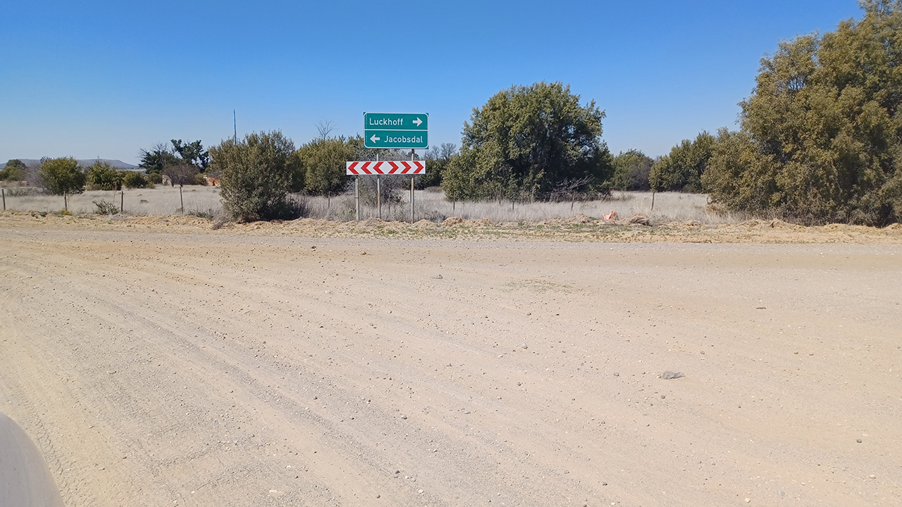
At Petrusburg we meet the N8, which is the national road from Kimberley to Bloemfontein. It’s busy, but we are set to reach our accommodation and to relax.
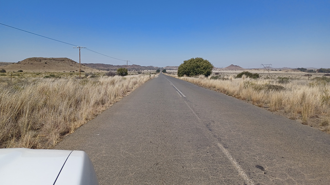
We reached Bloemfontein early afternoon and had time to relax and spend time with and family.
Bloemfontein
Late afternoon we visited the Bloemfontein Naval Hill, which is part of the Franklin Nature Reserve. There is a huge statue of the late President Nelson Mandela looking over the city. An awesome sight. We took many photos there, as I’m sure so many do.
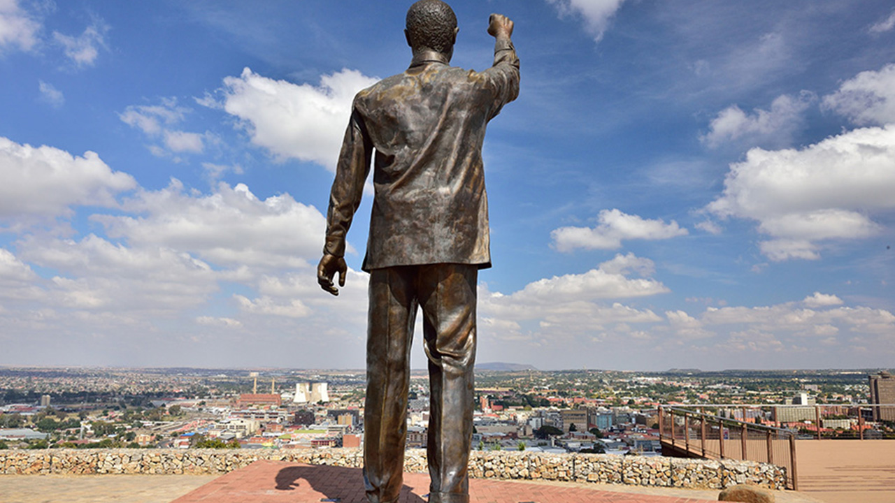
Although it’s called a Naval Hill (the word naval relating to soldiers at sea and war ships, etc.), there is no dockyard or sea in sight. The name was derived from the two naval cannons that were left there from the Anglo Boer war. But they’ve since been removed.
What is also interesting about this place is that it is a nature reserve, but without predators, lion, leopard, etc. So, the game roam freely and have become quite used to people around them. They are no longer skittish. This makes for great photo opportunities.


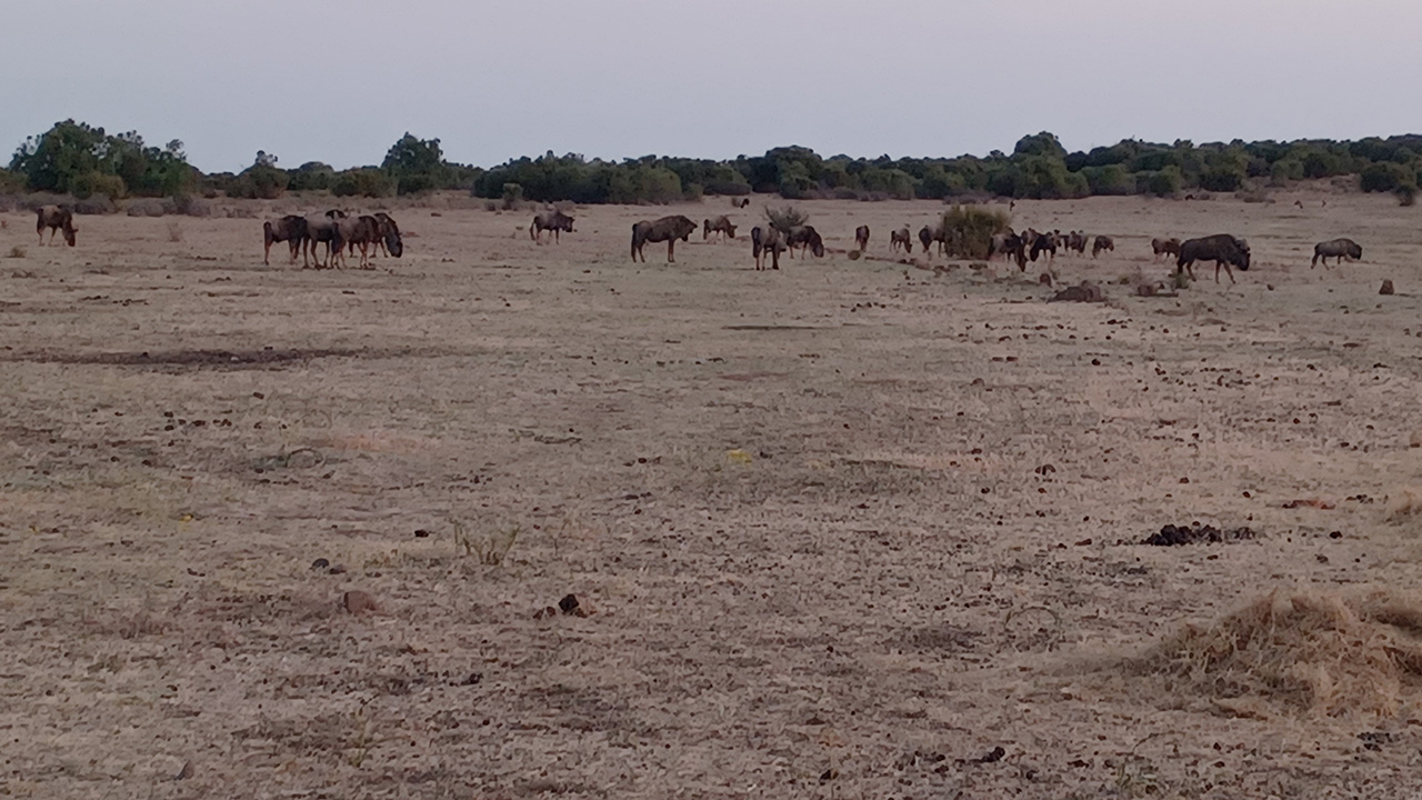
There is also a park run through this reserve. You’ll often find a lone runner/jogger attempting the hill, which is quite steep. As evening drew nigh, the lights of the city made for a magical experience. For more information, visit them at Bloemfontein Tourism, https://bloemfonteintourism.co.za/naval-hill/
A good supper and a good night’s sleep made for an early start to the next morning
No Comments